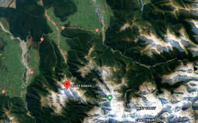
The West Coast Regional Council says engineering advice has ruled out the use of a cut in the Orowaiti River, to alleviate flooding during the current adverse weather.
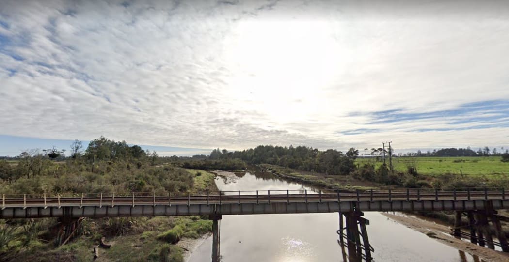
Orowaiti River Photo: Google Maps
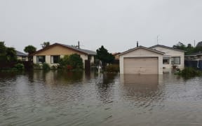
There have been suggestions that constructing a cut, either prior to this event, or over the next day or so, would help to prevent the town of Westport, which is sandwiched between the Buller and Orowaiti rivers, from flooding.
West Coast Regional Council director of operations Randal Beal said a cut could provide benefit in some flood risk scenarios, but not in this situation.
"The current forecast of northerlies and extreme high tides would likely lead to additional issues for the community. The cut would cause further coastal inundation."
Due to a lack of ground height between the Orowaiti and the sea, the cut had to be shallow and wide in order to provide any flood relief benefit, in the right scenarios. It also required approximately one million cubic metres of material to be moved.
Beal said that the Orowaiti Cut presented its own issues. It was not likely to significantly self-flush due to lack of river velocity and the distance of well over a kilometre involved.
"We want to reassure the community, that if doing the cut would provide flood relief for the event we are facing then we would be acting."
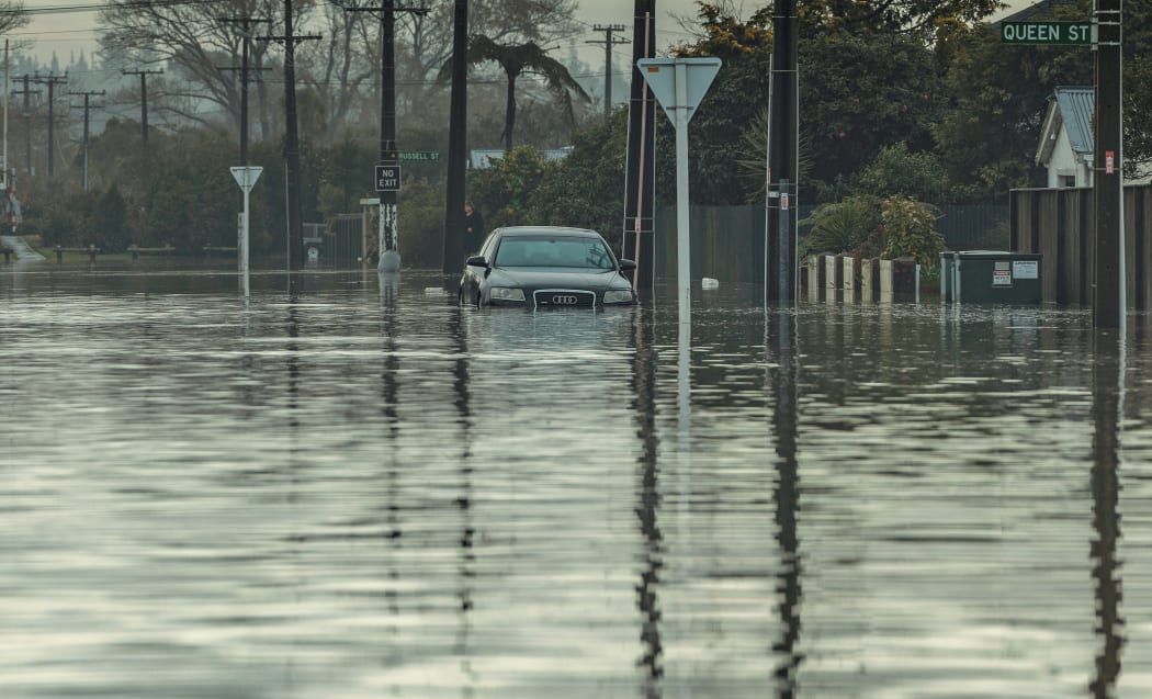
File photo: Car surrounded by water during Westport's flooding in July. Photo: Supplied / NZ Defence Force
Beal said he understood it was a stressful time for the Westport community and the council was looking at all options that could be immediately deployed.
"Using the flood modelling undertaken, we have been able to recommend priority areas for sand-bagging to be done today."
The Buller District Council has coordinated supplies for sandbags. These can be accessed at the Pulse Recreation Centre car park by the netball courts, and at the Kawatiri Coastal Trail by the Buller Bridge.
The Orowaiti cut is one of the flood protection tools being considered by the Westport Steering Committee as part of an application for government funding.
Catchments rising but risk low
Meanwhile in Otago, rivers in the Wānaka and Wakatipu catchments are rising but the risk of widespread flooding is currently low.
MetService has an orange heavy rain warning in place for Otago headwaters until 3am on Thursday.
About 220 millimetres of rain had fallen in the Lake Wānaka catchment at Young River Dam as of noon on Wednesday.
The Otago Regional Council was closely monitoring rainfall and lake and river levels particularly in the Wānaka and Wakatipu catchments.
Council flood duty officer Tim van Woerden said heavy rain was forecast until early on Thursday morning while lower intensity rain was expected over much of Otago until Friday.
"While our neighbours on the West Coast are bearing the brunt of this event, we are not anticipating any major flooding issues for Otago at this stage," he said.
"Rivers in the headwaters, like the Makarora, Matukituki, Dart and Rees will see high flows during today and tomorrow morning, then will begin to recede once the intense rainfall subsides. These areas may experience localised flooding at river margins, and there may be a risk of landsliding or debris flows triggered by the heavy rain.
"We urge people using these rivers, for fishing or on walks, to take extra care in the area at this time."
The levels of Lake Wānaka and Lake Wakatipu were expected to rise over the next two days but they should remain well below alarm levels, he said.